Satellite technology has transformed the field of archaeology, enabling researchers to identify ancient structures buried beneath centuries of desert sand. In one of the most significant breakthroughs in space archaeology, NASA-funded scientist Sarah Parcak and her team used infrared imaging from orbiting satellites to locate 17 previously unknown pyramids, more than 1,000 burial sites, and approximately 3,000 ancient settlements across Egypt.
How Satellite Infrared Technology Reveals Hidden Structures
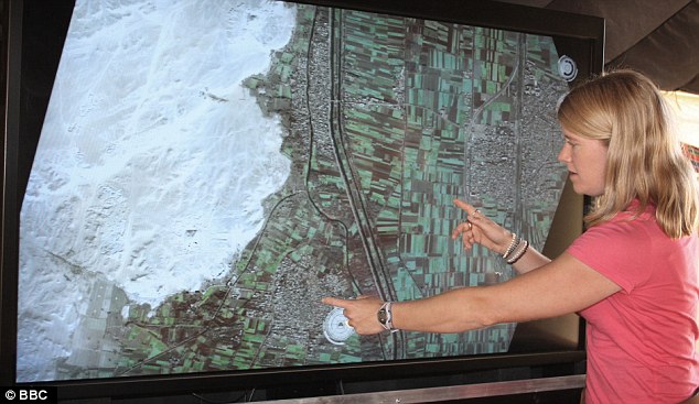
The satellites orbit approximately 435 miles above the Earth’s surface, equipped with cameras capable of imaging objects less than one meter in diameter. The key to their archaeological effectiveness lies in the composition of ancient Egyptian construction materials.
Buildings throughout ancient Egypt were constructed from mud brick, a material significantly denser than the surrounding sand and soil. This density difference allows infrared cameras to detect the outlines of structures that are completely invisible to the naked eye, buried under centuries of accumulated sediment.
The Ancient City of Tanis
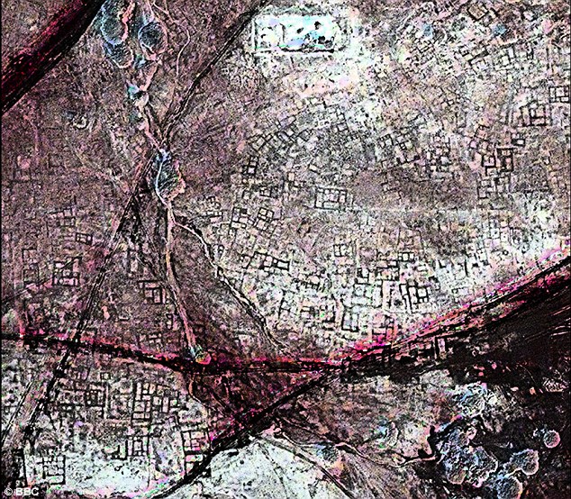
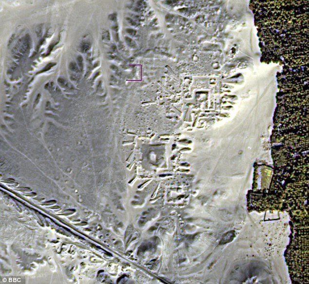
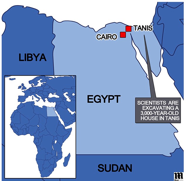
Among the most productive excavation sites was the ancient city of Tanis, where researchers began uncovering a 3,000-year-old house. The outline of the structure matched the shape identified in the satellite imagery with remarkable precision, providing strong validation of the technology.
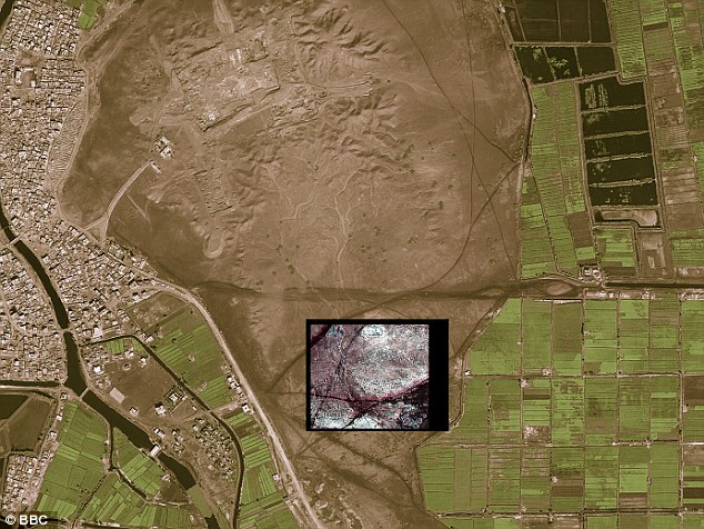
Satellite data revealed Tanis to be far more extensive than previously understood, with underground tombs and building foundations densely clustered beneath the surface.
Confirmed Discoveries at Saqqara
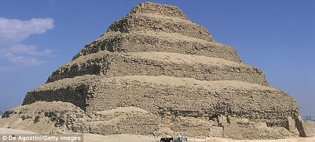
Two of the satellite-identified pyramids at Saqqara, the burial ground for the ancient capital of Memphis, were confirmed through ground excavation. Saqqara is historically significant as the site of the oldest known pyramids, dating to approximately 2600 BC, and the new discoveries reinforced its status as one of the most important archaeological sites in Egypt.
Dr. Parcak, based at the University of Alabama at Birmingham, described the moment of realization when the full scope of discoveries became apparent. The sheer number of identified sites far exceeded initial expectations.
Implications for Egyptian Heritage Protection
The accuracy of the satellite imaging technology impressed the Egyptian government, which subsequently planned to adopt the approach for identifying and protecting the country’s vast archaeological heritage.
Dr. Parcak emphasized that the discoveries represented only the beginning. The sites identified through satellite imagery were those relatively close to the surface. Thousands of additional sites likely remain buried deeper, particularly beneath silt deposits along the banks of the Nile River.
The technology also offered practical applications for monitoring the looting of antiquities, a persistent threat to Egyptian cultural heritage. By establishing baseline satellite images of known sites, researchers could detect unauthorized excavation activity from orbit.
A Hidden Chamber in the Great Pyramid
In a related development, a British-engineered robotic probe exploring tunnels within the Great Pyramid of Giza discovered hieroglyphs inside a passage leading from the Queen’s Chamber. Cameras aboard the probe also captured images of a stone door that researchers believed could lead to a hidden chamber unseen for approximately 4,500 years, adding another dimension to the ongoing technological exploration of ancient Egyptian monuments.
These discoveries collectively demonstrated that modern remote sensing technology was fundamentally changing the pace and scale of archaeological research, with potentially thousands of sites yet to be found beneath the Egyptian landscape.